City Closeup
One of the first city maps I ever drew, this map is heavily influenced by Portland, OR.
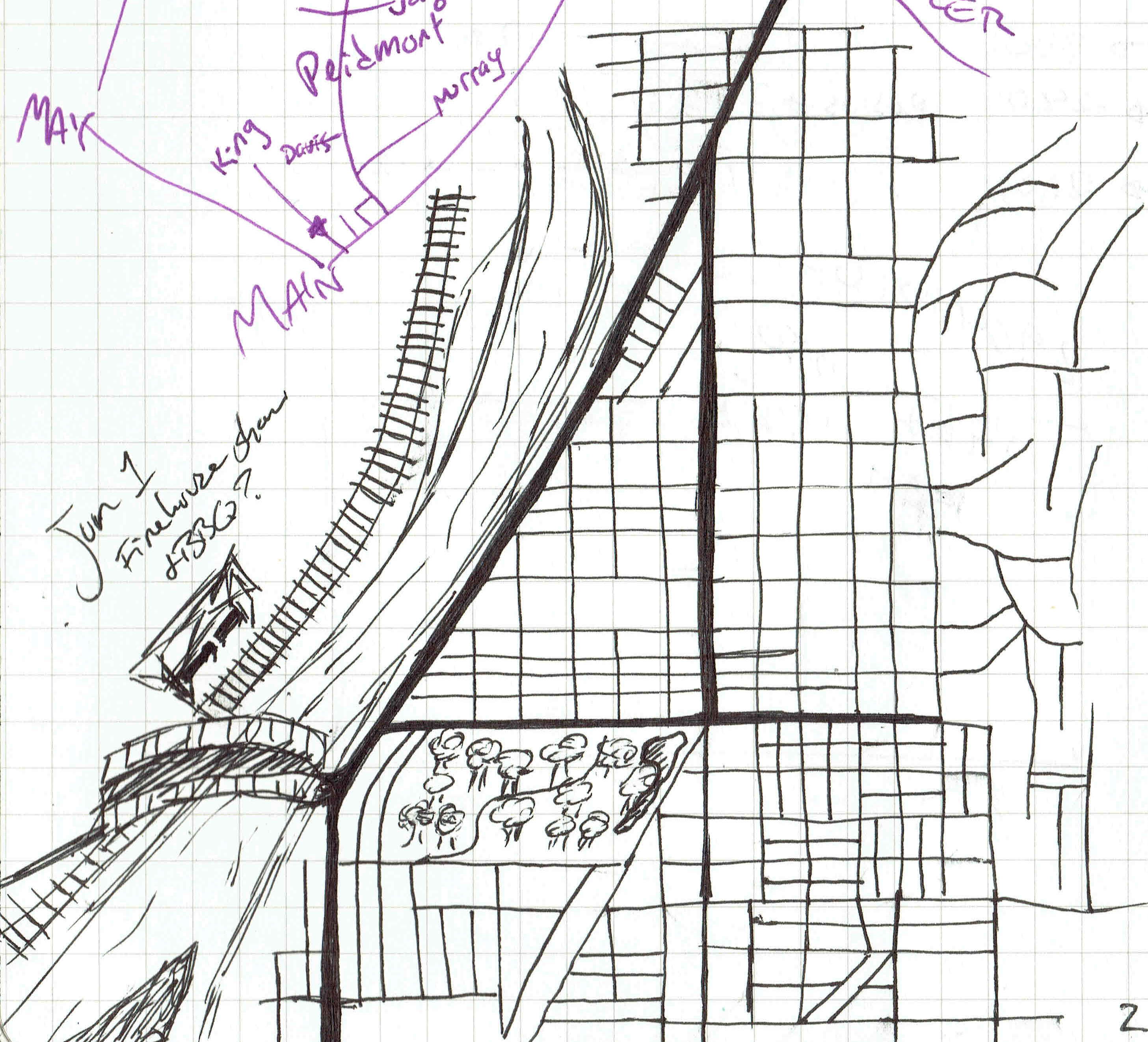
In the top left of the map, you can see a purple schematic map. I had written down directions to an event in Worcester, and drew the majors streets I would see. I still managed to get lost, but I was inspired by the schematic to draw my own city map. Like most major cities, it is based on a river and has a railroad near it. Other Portland influences are the (implied) hills that break up the grid pattern along the right side, and an island in the middle of the river (bottom left). This was a quick sketch done in all ink, and no “urban planning” went into this map.
As a first attempt at a city, I think this map does a decent job of a city’s downtown area.