No-Grid Attempt
After friends told me all my city maps were too closely aligned to a grid, I tried to make one that wasn't.
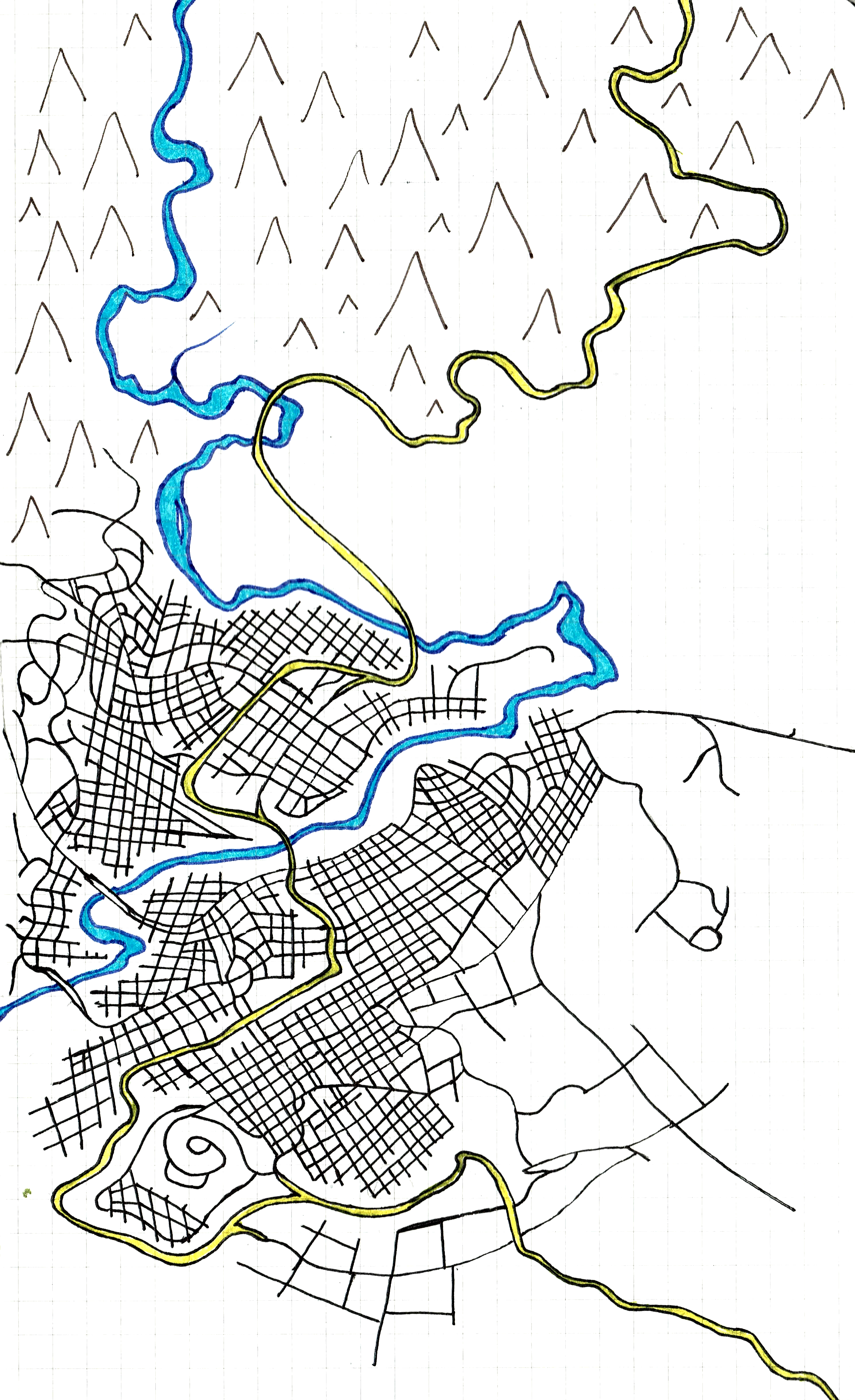
On a road trip to Kentucky, some of my friends said my city maps didn’t seem realistic. I base most of my city maps off of Portland, Oregon, which has a river and a clear grid system. Still, I wanted to branch out and try something new.
The river and the highway were drawn first, then I added some lines and curves as major streets. Based on instinct, I increased the density of the city by filling in between streets. Without noticing, a grid emerged.
There’s a lot that’s unrealistic about this map, perhaps more so than some of the earlier hyper-gridded ones. The highway is bumpy and has too many turns. Why did they build it to cross the river four times, when they could have built it on the other side of town and avoided it all together? Why are there no bridges on the east side of the highway, and two on the west side of town? Why does the last off ramp lead to the edge of town and not circle back for a long distance?